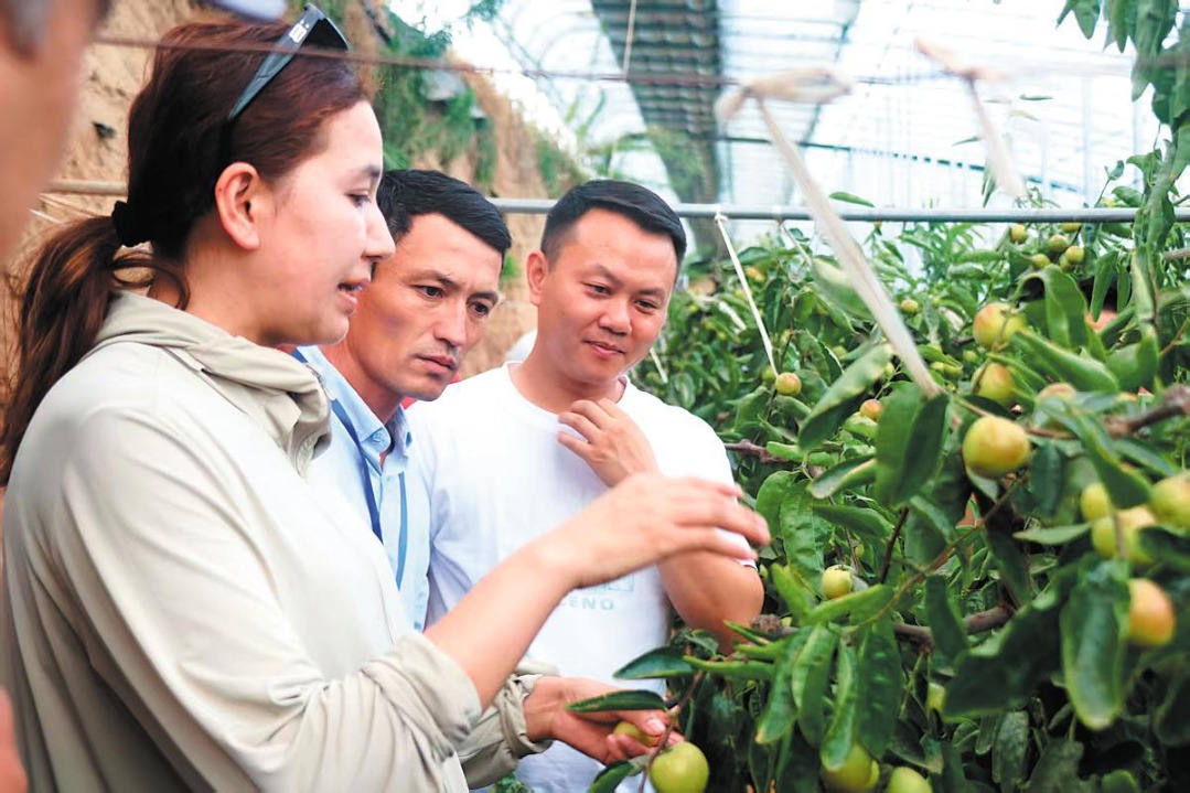
Beidou helps Qinghai herdsmen digitally track livestock


Qinghai herdsmen have started to track their livestock through a unique service supported by China's homegrown Beidou Navigation Satellite System, Chinanews.com reported Tuesday.
Qinghai plateau, covering an area of 36.47 million hectares of grasslands, is the country's fourth largest pastureland, inhabited by substantial numbers of cattle, sheep and yaks.
According to the report, with a handset device providing basic positioning and navigation services, the herdsmen can locate their livestock, monitor the grassland environment and prevent any potential animal diseases.
Besides, an automatic monitoring station and digital platform for collecting data on pastoral farming were also set up for assistance.
At present, Qinghai province has built 12 automatic data collection stations and conducting posts, establishing the basic communication network navigated by Beidou.


- Mainland scholar discloses fallacies in Lai's separatist narrative on 'unity'
- University's expulsion of female student ignites online debate
- 4,000 hiking enthusiasts hit rugged trails in Chongqing
- Creative fireworks show held in China's 'fireworks capital'
- Chinese scientists achieve net-negative greenhouse gas emissions via electrified catalysis
- At the gateway to China's resistance, memories of war echo 88 years on